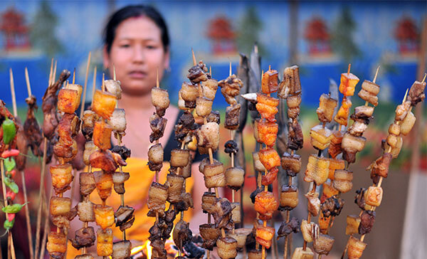
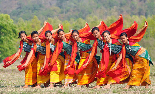
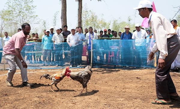
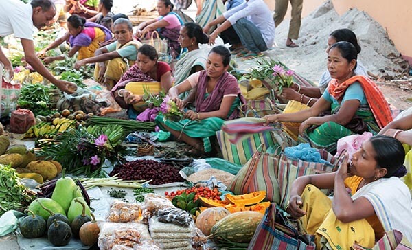
About Bodoland Territorial Region:
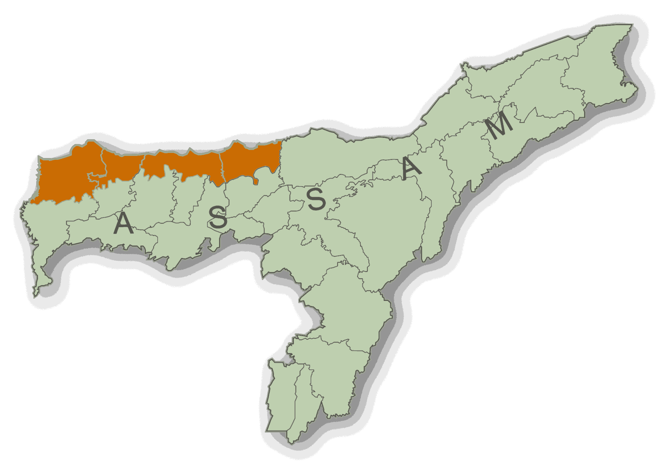
Bodoland, officially the Bodoland Territorial Region, is an autonomous region in Assam, Northeast India. It is made up of four districts on the north bank of the Brahmaputra river below the foothills of Bhutan and Arunachal Pradesh. It is administered by an elected body known as the Bodoland Territorial Council which came into existence under the terms of a peace agreement signed in February 2003 and its autonomy was further extended by an agreement signed in January 2020. The region covers an area of over nine thousand square kilometers and is predominantly inhabited by the Bodo people and other indigenous communities of Assam.
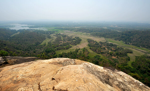
Geography:
The geographical boundary of the BTR lies between 26° 7'12'' N to 26° 47' 50'' N Latitude and 89° 47' 40'' E to 92° 18' 30'' E Longitude and is in the North Western part of Assam. Kokrajhar town the Administrative Head Quarter lies roughly between 26° 25' N latitude and 90° 16' 38'' E Longitude.
Ethymology of Bodoland:
The Plains Tribes Council of Assam had demanded, since its inception in 1967, for a separate union territory for the Boro and other plain tribes to be called Udayachal. With the failure of PTCA, the All Bodo Students' Union launched the Bodo Movement in 1987 with the demand for a separate state to be called Bodoland, ending with the Bodo Accord of 1993 with the formation of Bodoland Autonomous Council. Bodoland is named after Bodo, an alternative spelling of the Boro people who live primarily in the Dooars regions of Goalpara and Kamrup districts.
Bodoland Within India
- Established: 9 February, 2003
- Govt. Type: Autonomus Administrative Region
- Body: Bodoland Territorial Council
- Total Area: 8,970 Km2
- Official Languages: Bodo, English, Assamese
History:
Originally a part of ancient Kamarupa this region came under the control of Koch-Mech king Vishwa Singha in the early 16th century. It was part of a region delineated for the first time around 1562 when the successor king Nara Narayan determined that the Meches and Koches peoples north of the newly constructed Gohain Kamal Ali could follow their indigenous customs whereas peoples to its south had to follow Hindu Brahmanical rites. After the split of the Koch kingdom and subsequent collapse of the eastern Koch Hajo due to the Mughals and during the period of Ahom-Mughal conflicts in early 17th century the Bhutan kingdom pushed south and took control of the region down to the Gohain Kamal Ali. By the end of the 17th century the Ahom kingdom had extended their control up to the Manas river, and the region north of the Gohain Kamal Ali became divided into different Duars each having individual administrative mechanisms that the Bhutan kingdom and the Ahom kingdom shared. The Duars in the Goalpara region (which was outside the Ahom kingdom) were under Bhutan's control, the Duars in the Kamrup region were shared under the Posa system and the Duars in the Darrang region were alternately controlled by the Bhutanese and the Ahoms in an annual cycle. After the British took control of Ahom kingdom in 1826, they maintained the Ahom-Bhutan arrangement somewhat and following the Duar War in 1865 took complete possession of the Duars and removed Bhutanese interest for good.
1993 and 2003 peace agreements:
Following an agreement in 1993, Bodoland became an autonomous administrative unit constituted under the Sixth Schedule of the Constitution of India covering an area of 8,795 km2 administered by the Bodoland Autonomous Council. Following a further peace agreement, the Bodoland Territorial Council was formed in 2003, with a mission to accomplish development in the area of economic, education, preservation of land right, linguistic aspiration, socio-culture and ethnic identity of Bodos and above all to speed up the infrastructure development of communities in the Bodoland area. The actual functioning of the council was started on 7 December 2003 by constituting the 12 members of the Council provisionally. After the Council Election on 13 May 2005 and subsequent bye-election in November 2005, the 40-member Legislative Council has been formed to look after the development works in the Bodoland Territorial Area Districts. The remaining six members are nominated by the Governor of Assam from the unrepresented Communities. Thus there are altogether 46 members of the council, representing all communities of BTC Area known as Member of Council Legislative Assembly (MCLA).
2020 peace agreement and the formation of the Bodoland Territorial Region:
A new peace agreement was signed on 27 January 2020 between the Government of India and the Government of Assam on one side and the National Democratic Front of Bodoland, (NDFB) the All Bodo Students’ Union and United Bodo People's Organisation on the other. Under the terms of this agreement, a Bodoland Territorial Region was formed with enhanced executive and legislative powers. The Bodoland Territorial Council will have competency over almost all areas defined by the Sixth Schedule of the Constitution of India and its membership will be increased to 60. The boundary of BTR will be redrawn to make Boro speakers majority within the region. This will be done by forming new districts and the boundary of the region will be adjusted to include contiguous Bodo inhabited areas from neighbouring districts and exclude the non-Bodo inhabited territories which are currently under the jurisdiction of the BTC. Bodoland will also have the right to be represented at national level sports and cultural events such as the National Games of India and the Khelo India Youth Games. The agreement also makes the Bodo language with Devnagri script an associate official language of Assam.